GeoSpy AI
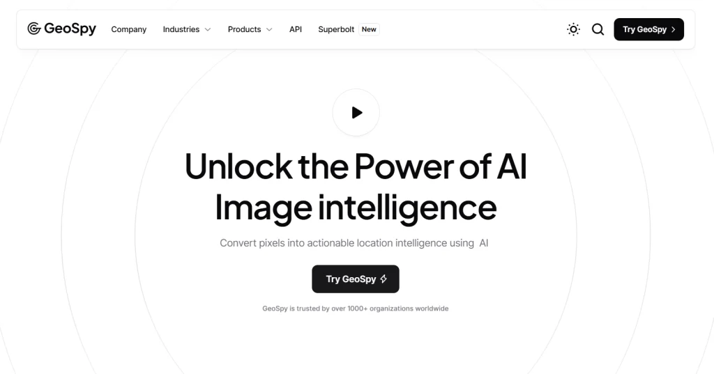
GeoSpy AI uses AI to analyze satellite images and spatial data for tasks like environmental monitoring, urban planning, crop health, and disaster response.
What is GeoSpy AI?
GeoSpy AI is a smart tool that uses AI to study satellite images and spatial data. It helps with tasks like tracking environmental changes, planning cities, monitoring crops, and supporting disaster response efforts. By quickly analyzing large amounts of data, it gives useful insights into land use, landscape changes, and crop health. GeoSpy AI is perfect for decision-makers in fields like agriculture, urban planning, and disaster management, offering fast and accurate geographic analysis.
Key Features:
- AI-Powered Geospatial Analysis: GeoSpy AI uses AI to analyze satellite images and spatial data, offering real-time insights into land use, environmental changes, and trends.
- Supports Multiple Applications: It assists in various fields like environmental monitoring, urban planning, agriculture, disaster response, and military reconnaissance.
- User-Friendly Interface: Designed with an easy-to-use interface, it requires no technical skills, making it accessible to all users.
- Customizable Dashboards: Tailor your data view with customizable dashboards for better decision-making and analysis.
- Fast and Accurate Data Processing: It processes large volumes of spatial data quickly, offering precise insights for better decision-making.
Pros:
- Reduces analysis time with real-time geographic data processing, boosting efficiency.
- Lowers costs by automating complex geospatial tasks, saving manual effort.
- Delivers accurate insights for better decision-making in various fields.
- Scales effortlessly for both small businesses and large enterprises.
- Continuously improves its performance as more data becomes available.
Cons:
- New users may face a learning curve with advanced features.
- Limited functionality in areas with poor or no internet access.
- Requires validation as data may occasionally lack precision.
- Some geospatial results may need further verification.
- Raises privacy concerns, requiring ethical use of location data.
Who is Using GeoSpy AI?
Urban planners use GeoSpy AI to design cities and manage infrastructure projects more efficiently.
What Makes GeoSpy AI Unique?
GeoSpy AI is unique due to its powerful AI-driven geospatial analytics that deliver precise, real-time data. It excels in providing predictive modeling, enabling users to make informed decisions and strategic plans across various industries like urban planning and logistics.
GeoSpy AI stands out with its ability to analyze photos for geolocation by identifying landmarks, vegetation, and environmental cues.
Summary:
Urban planners use GeoSpy AI to design cities and manage infrastructure projects more efficiently.
Popular AI Tools

AdobeFirefly

Sudowrite
Related AI Tools
Copyter

ClassPoint

Mapify

ToolBaz

Dream Interpreter AI

You Com

Glass AI

Writingmate AI

All GPTs
